BSM+, Presents Bandung Smart City Integrated Data
The Bandung City Government now has an online site-based geographic information system application called Bandung Smart Map Plus (BSM+).
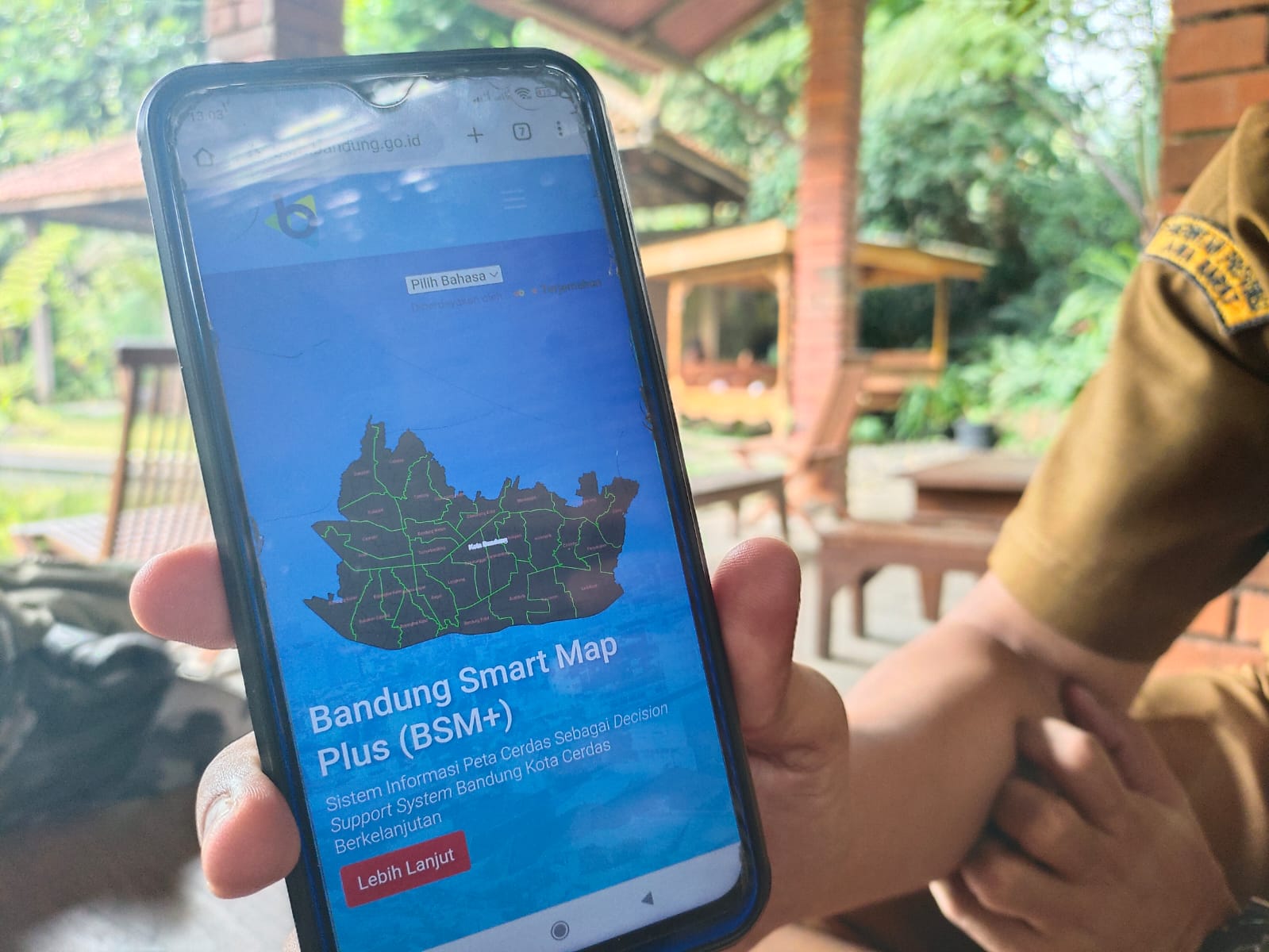
This system is an aid in policy formulation, as well as decision making related to regional spatial planning, mapping of disaster-prone areas, natural resource management.
BSM+ contains a service analysis results facility that allows users to be able to draw conclusions with the help of geoprocessing features and various data they have. The benefits, as a geodatabase for data management and evaluation monitoring planning.
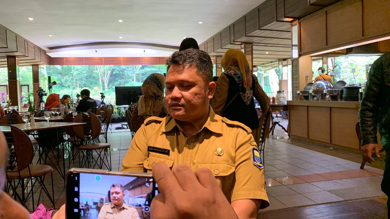
Head of the Survey, Measurement and Mapping Section of the Ciptabintar Service, Deni Pathudin said, geospatial data will integrate all data from various OPDs in the Bandung Smart Map Plus (BSM+) application.
"Geospatial is a container for unifying data, so that overlapping data can be found out. The data to the person can be correct," he said as a resource person in Bandung Responding at Cipaku Hotel, Tuesday, March 14, 2023.
He said, through BSM+ various programs and developments can be portraits from the lowest region, for example the profile of the village. Currently the BSM+ map has reached the RT and RW levels.
BSM+ contains various thematic information that can be used in the basic formulation of various programs.
Not only that, BSM+ also, he said, has various advantages such as being easily accessible, present at a good scale so that the precision can be accounted for, and presenting thematic data as the basis for leadership decision making.
"For example, school zoning for fulfillment. The relationship between the number of residents in an area for the construction of a health center. We are also building regional administrative boundaries to RT and RW," he said.
"We want to develop collaboration and synchronization of village data into map data in the application. Such as DTKS data, stunting, and others. We want spatial data," he added.
It should be noted, of the 514 cities/regencies, only two regions use a 1:1,000 geospatial map, namely Bandung and Surabaya.
He hoped that BSM+ would continue to be developed and could even become a reference map for various policies in the city of Bandung.
"We develop it like a Google Map, all data is integrated in BSM+ which is easy to access," he said. (rob)**
Head of the Bandung City Communication and Informatics Agency
Yayan A. Brilyana